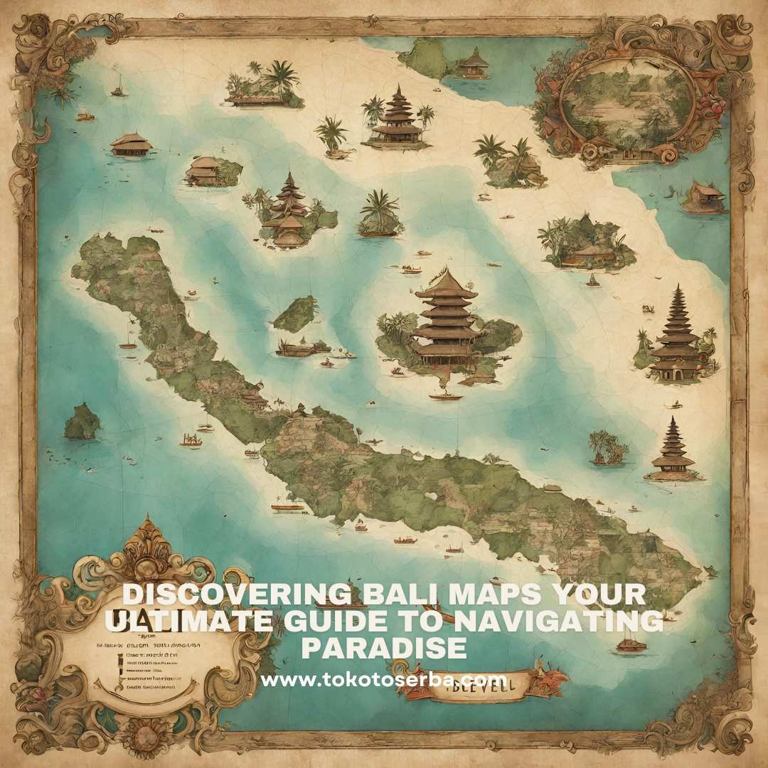
Bali is located in Southeast Asia, and it is part of Indonesia, the world’s largest archipelago. Specifically, Bali is situated between the islands of Java and Lombok. It lies approximately 8 degrees south of the equator, making it a tropical destination with warm weather year-round. On a map, Bali is easily recognizable as a small island with a distinct shape, resembling a teardrop or a diamond, depending on the perspective. Its coordinates are approximately 8.4095° S latitude and 115.1889° E longitude.
Where Is Bali On The Map